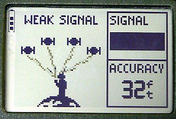
Default Startup/Satellite Status Screen
| WA8LMF Home Page | Main Ham Radio Page | Main APRS Page | Updated 29 Apr 07 |
Default Startup/Satellite Status Screen
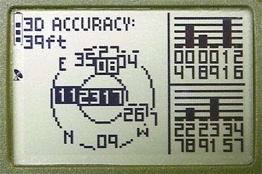
Advanced Satellite Skyview Diagram
|
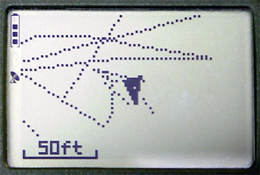
As you walk or move the unit draws this simple map that auto scales as the distance increases. You can also mark specific waypoints on the map. |
|
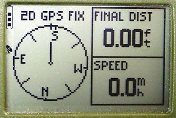
It displays distance traveled, speed (which actually resolves usably at walking speeds), and compass heading. |
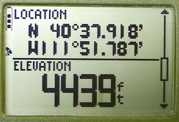
| This screen scrolls (notice GUI scrolling thumb at right) to display a variety of stats. |
|
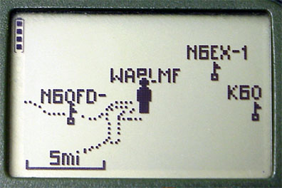
Display of APRS position reports uploaded
as NMEA waypoints from Kenwood TH-D7 or D700. |