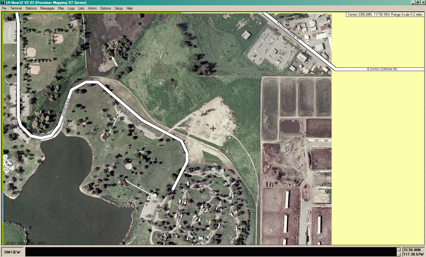
UIview 2.03 with Precision Mapping Server 7.07 at maximum "zoom in". Note that the white S-curved road "Johnson Ave" leading to the campground is part of the Precision Mapping vector layer. It precisely covers an image of the road on the satellite view underneath. The dirt road showing next to the white line is a parallel road.